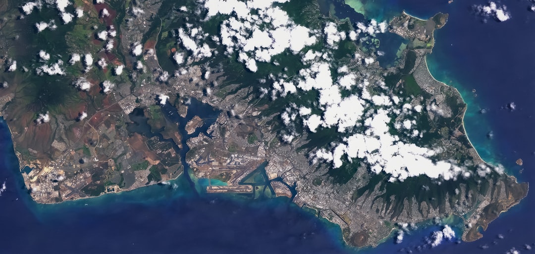
Geographic Information System (GIS) software has become indispensable in planning, environmental science, transportation, public health, and countless other sectors. With GIS technology evolving rapidly, 2025 presents a landscape filled with powerful tools that blend spatial data analysis, machine learning, and real-time mapping functionalities. Whether you’re a seasoned GIS professional, a researcher, or a municipal planner, choosing the right software is critical for achieving efficient, accurate, and insightful results.
Table of Contents
TLDR: Top 10 GIS Software in 2025
In 2025, leading GIS platforms continue to offer advanced geospatial analysis, 3D modeling, and integration with AI. ESRI’s ArcGIS remains at the forefront, accompanied by powerful open-source alternatives like QGIS and GRASS GIS. Newcomers such as Felt and PlanetOS gain traction with user-focused interfaces and real-time data features. Whether you’re seeking enterprise-scale capabilities or lightweight web deployment options, there’s a GIS solution suited for every use case.
1. ArcGIS Pro (ESRI)
Overview: Still considered the gold standard by many in the GIS community, ArcGIS Pro from ESRI leads the market with its robust set of tools for spatial analysis, 3D visualization, and enterprise-level integration. In 2025, ArcGIS Pro offers seamless integration with AI and machine learning workflows, real-time data dashboards, and support for big data environments.
Why it stands out: Its comprehensive toolset, continuous updates, and smooth interoperability with other ESRI products make it a top-tier choice for government agencies, large enterprises, and academic institutions.
2. QGIS (Open Source)
Overview: QGIS remains the premier open-source GIS solution in 2025. With regular updates from the global open-source community, it offers vast plugin support, compatibility with Python for automation, and integration with PostgreSQL/PostGIS databases.
Why it stands out: Its cost-effectiveness, modular design, and flexibility make QGIS ideal for both professional use and educational settings. Its performance has improved significantly in recent versions, allowing it to handle large datasets with ease.
3. Google Earth Engine
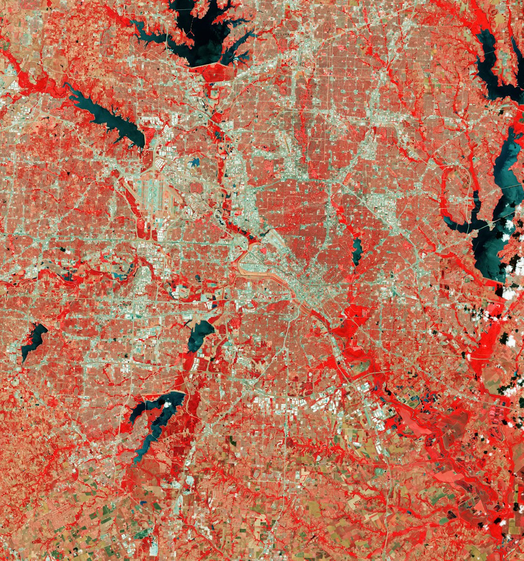
Overview: Cloud-based and focused on planetary-scale geospatial analysis, Google Earth Engine (GEE) is widely used for environmental monitoring, disaster response, and scientific research. Its vast catalog of satellite images, weather data, and climate data, coupled with JavaScript and Python APIs, make it unmatched for temporal analysis over global datasets.
Why it stands out: GEE excels in large-scale remote sensing tasks and supports near-instant processing thanks to Google’s cloud infrastructure.
4. GRASS GIS
Overview: The veteran among open-source GIS tools, GRASS GIS (Geographic Resources Analysis Support System) continues to serve power users looking for detailed terrain analysis, raster manipulation, and environmental modeling. It serves as the backend for various platforms, including QGIS.
Why it stands out: While its interface is less polished, its deep analytical functionality makes it a staple in academic and research institutions.
5. MapInfo Pro (Precisely)
Overview: MapInfo Pro, developed by Precisely (formerly Pitney Bowes), caters to industries that require complex spatial analytics like insurance, retail planning, and urban development. The 2025 version brings improved data visualization, real-time geocoding, and BI integration.
Why it stands out: Its intuitive GUI, combined with in-depth vector and raster tools, makes it a preferred choice for business-focused GIS professionals.
6. GeoDa
Overview: While not traditionally treated as a full GIS suite, GeoDa provides an excellent interface for spatial econometrics and statistical visualization. It’s lightweight, easy to learn, and ideal for researchers focused on quantitative spatial analysis.
Why it stands out: Designed to democratize geographic data analysis, GeoDa is especially popular in social sciences and public policy institutes. In 2025, it receives updates for better spatial regression diagnostics and easier CSV/GEOJSON imports.
7. Felt
Overview: Felt is an emerging player in the cloud GIS space, offering easy-to-use web-based map creation and team collaboration tools. The platform’s 2025 version includes AI-assisted map suggestions, mobile optimization, and embeddable layers.
Why it stands out: Designed for simplicity and accessibility, Felt finds a wide audience among journalists, researchers, and urban planners who need quick, elegant maps with collaborative features.

8. GeoServer
Overview: GeoServer is open-source software that powers web-based distribution of geospatial data. It supports industry-standard protocols like WMS, WFS, and WCS, allowing seamless integration with clients such as OpenLayers, Leaflet, and Google Maps.
Why it stands out: It’s the cornerstone of spatial data infrastructure (SDI) projects and governmental GIS transparency initiatives. GeoServer’s 2025 release includes performance enhancements for cloud-native deployment.
9. Carto
Overview: A specialized solution for geospatial data science, Carto is especially known for powering location analytics with spatial SQL and a streamlined cloud interface. In 2025, Carto enhances its connectivity with BigQuery, Snowflake, and other major data warehouses.
Why it stands out: Its spatial data science toolkit, support for notebooks, and enterprise dashboards make Carto essential for data-driven business decision-making.
10. PlanetOS
Overview: Developed by Intertrust, PlanetOS is a data catalog and API service platform offering access to Earth observation and environmental datasets. Used increasingly in climate science, marine research, and clean tech, PlanetOS makes it easier to acquire and work with rich geospatial data without deploying a full GIS stack.
Why it stands out: PlanetOS serves as a bridge between raw data and visualization platforms, making it ideal for scientific communities that rely on time-series analysis and predictive modeling tools.
Considerations When Choosing GIS Software
As the GIS field expands, users must consider several key aspects when choosing a platform:
- Purpose: Are you conducting environmental monitoring, business intelligence, or academic research?
- Budget: Open-source tools like QGIS and GRASS provide exceptional value without license fees.
- Data Volume: Solutions like Earth Engine and Carto are optimized for massive, cloud-hosted datasets.
- User Skill Level: Platforms such as Felt are ideal for beginners, while ArcGIS Pro and GRASS meet the demands of advanced users.
The Future of GIS: Trends to Watch in 2025 and Beyond
GIS technology is continuing to intersect with emerging innovations such as AI, IoT, and digital twins. Real-time mapping, predictive analytics, and immersive 3D visualization are no longer optional but increasingly expected features. Here are three trends to watch:
- AI-Augmented Analysis: Tools like ArcGIS and Carto now integrate machine learning models for predictive mapping and anomaly detection.
- Cloud-Native Architecture: Web GIS platforms are gaining traction as organizations shift away from on-premise servers.
- Citizen Mapping Platforms: Apps like Felt and Mapillary empower a broader audience to contribute geospatial data, improving local-level decision-making.
Conclusion
From legacy powerhouses like ArcGIS and MapInfo to agile newcomers like Felt and PlanetOS, the GIS landscape in 2025 offers something for every need and expertise level. As GIS becomes more integral to sectors ranging from agriculture to epidemiology, selecting the right platform can provide a competitive edge through better insights and more efficient operations. Before choosing, it’s vital to match your goals and skills with a software solution that aligns with your workflow and budgetary constraints.
Whether you’re deploying a national-scale spatial data infrastructure or curating maps for local news storytelling, the GIS tools of 2025 are more versatile, scalable, and feature-rich than ever before.